- This event has passed.
This is a free and open to the public hybrid event, held both inperson and online.
Due to the newly effective insurance requirements, we regret that we can not allow people under 18 on the Chapman Campus, they are welcome to attend online.
Join Zoom
This meeting’s speaker will present inperson.
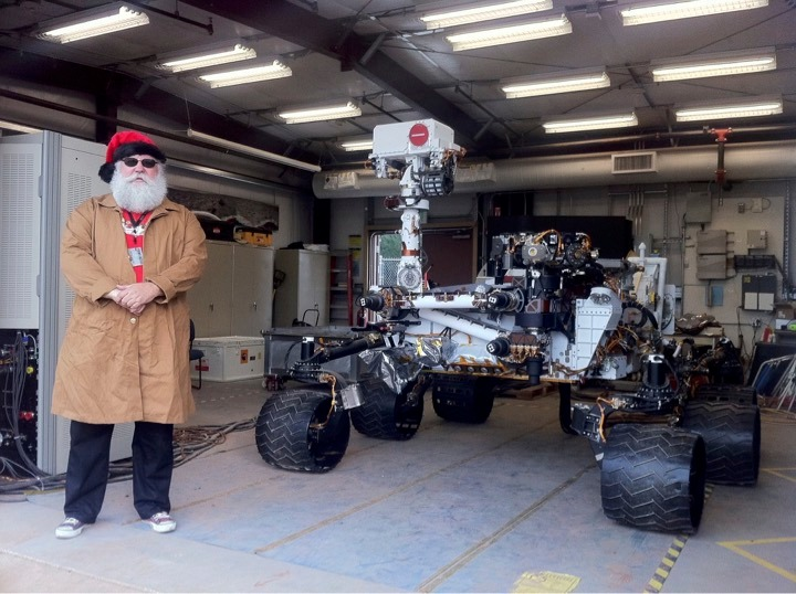
44 years as a “career Martian” at JPL

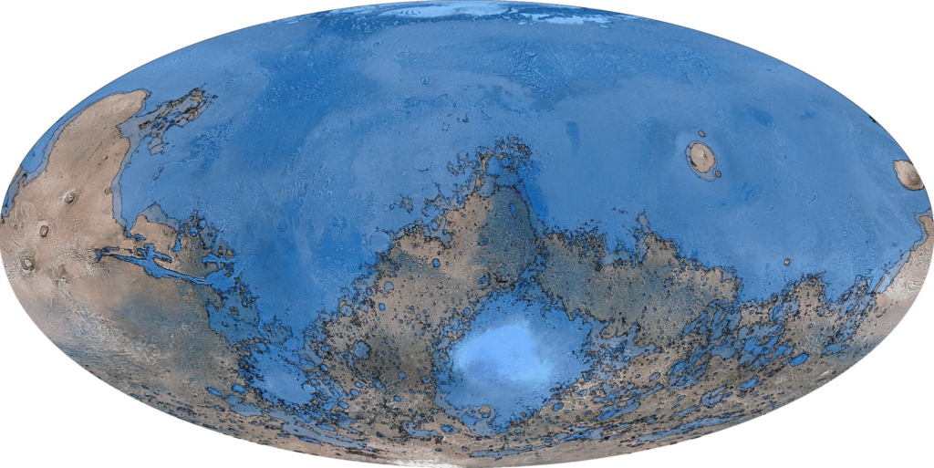
Tim Parker began working at JPL as a consultant and a contractor in January 1981. He carried his experience mapping geomorphology in Utah and Nevada for the Air Force’s MX Missile siting program, to his search for evidence of what might have happened to the flood waters from Mars’ catastrophic flood channels, using Viking Orbiter data. By the mid-1980s, Parker had developed a hypothesis suggesting that Mars had an ancient ocean that left behind familiar lakeshore landforms, comparable to those of Pleistocene lakes Bonneville and Lahontan. In 1987, Parker became a JPL employee. He has worked on numerous planetary missions, including CRAF (Comet Rendezvous/Asteroid Flyby), MRSR (Mars Rover Sample Return study), Magellan Venus orbiter, Mars Pathfinder, Mars Exploration Rovers (Spirit and Opportunity), Mars Science Laboratory (Curiosity), Initial Heliscout (later became Inegnuity), Mars Science Helicopter study, and Mars 2020 (Perseverance). Beginning with the Mars Global Surveyor mission in 1997, a flood of new, high-resolution imagery and topography data has become available for Mars, enabling Parker to further refine and update the ocean hypothesis. Parker is continuing that work in retirement.

Views: 4